The following report summarizes the results of sensitive species surveys conducted for the Southwestern Willow Flycatcher (Empidonax traillii extimus), Least Bell's Vireo (Vireo bellii pusillus), Southwestern Arroyo Toad (Bufo microscaphus califomicus), and Southwestern Pond Turtle ( Clemmys marmorata pallida). Surveys were performed on the Pine Creek, Bauser Creek, and Cottonwood Creek
drainages within the Pine Creek and Bauser Canyon Wilderness areas of the Cleveland National Forest. The purpose of these surveys was to determine both species presence, population number, and breeding status, as well as habitat conditions within the survey areas.
We surveyed for Southwestern Willow Flycatchers (Empidonax traillii extimus; flycatcher) at 33 locations along multiple drainages in San Diego County, including portions of Agua Hedionda Creek, Cottonwood Creek, Escondido Creek, Los Penasquitos Creek, Otay River, San Diego River, San Dieguito River, San Luis Rey River, Sweetwater River, and Tijuana River. Resident flycatchers were only found on two drainages in San Diego County, at San Dieguito and San Luis Rey Rivers, with 99 percent occurring on the San Luis Rey River. Resident flycatchers were detected at 18 percent of survey locations (Bonsall, Cleveland National Forest, Rey River Ranch, San Dieguito, and Vista Irrigation District [VID], and VID Lake Henshaw). Resident flycatchers were documented for the first time at Lake Henshaw, the only new location surveyed that supported flycatchers. We detected a minimum of 80 resident flycatchers from 2015 to 2019, most of these were upstream and downstream from Lake Henshaw. Transient flycatchers were found at 42 percent of survey locations; 38 transient individuals were detected at Agua Hedionda Creek, Otay River, San Diego River, San Dieguito River, and the San Luis Rey River.
Over the course of this study, 11 locations historically occupied by resident flycatchers were resurveyed; only 5 were found to have resident flycatchers: (1) Bonsall, (2) Cleveland National Forest, (3) Rey River Ranch, (4) San Dieguito, and (5) Vista Irrigation District. The number of resident flycatchers declined from previous high counts at all five locations. Collectively, the number of resident flycatcher territories within the historically occupied area of the upper San Luis Rey River downstream from Lake Henshaw (Cleveland National Forest, Rey River Ranch, and Vista Irrigation District) declined 71 percent between 1999 (48) and 2019 (14); 42 percent of the decline occurred between 1999 and 2016, with an additional decline (50 percent) occurring between 2016 and 2019. In 2016, the distribution of flycatcher territories at the historically occupied area of the upper San Luis Rey River changed relative to the distribution in 1999: the proportion of territories at Cleveland National Forest and Rey River Ranch decreased to 36 percent each, while Vista Irrigation District increased to 29 percent, creating a more equal distribution of territories across the historically occupied area. By 2019, the distribution changed relative to 2016, with most of the territories spread equally bet
This Land Management Plan (LMP) was prepared as a guide for the California Department of Fish and Game (herein referred to as the Department) in the management, maintenance, and restoration of the biological diversity and ecosystem components currently and historically present within the 5,189-acre Hollenbeck Canyon Wildlife Area (HCWA). HCWA is located in south-central San Diego County between the communities of Jamul and Dulzura, approximately
26 miles east-southeast of downtown San Diego (Figure 1). It lies between the Jamul Mountains
to the west, Otay Mountain to the south, and the Cleveland National Forest to the northeast.
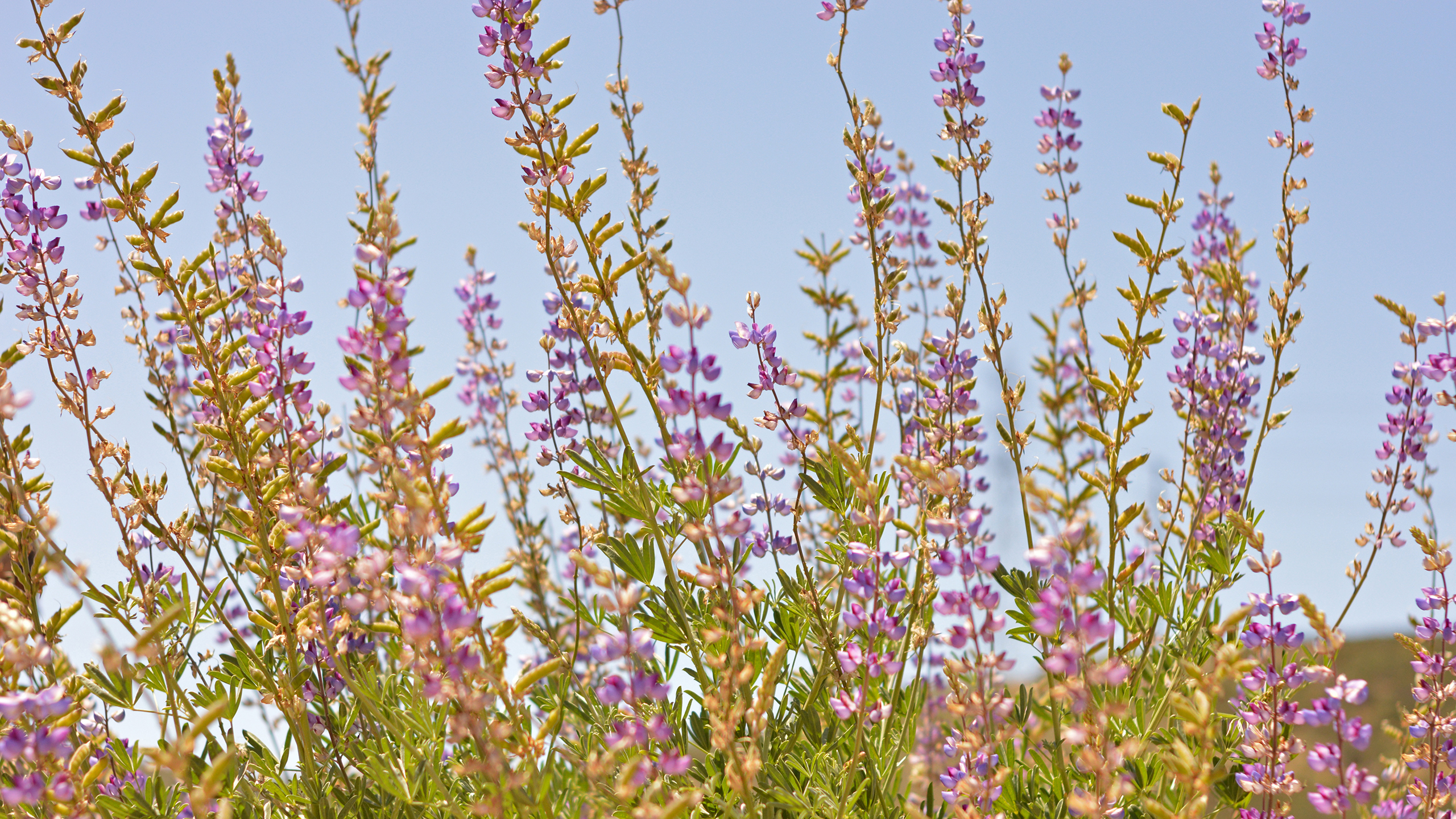
The Hermes copper (Lycaena hermes) is a rare butterfly endemic to San Diego County and northern Baja California. This species is threatened by recent urbanization and wildfires throughout its range in the United States. Since most individuals and larger populations are found in the southern portion of San Diego County, one large fire could nearly extirpate the species. Wildfires in 2003 and 2007 have already caused extirpations in this region and few recolonizations have been observed.
Past efforts have contributed to our understanding of the distribution of the Hermes copper so it is fairly well understood. However, there may still be unknown populations. Surveys associated with the SDG&E Sunrise Powerlink Project discovered several populations by searching linear transects through Cleveland National Forest without specifically targeting Hermes copper. Based on these results, we thought that additional surveys through potential habitat could yield detections of unknown populations.
The objective of this project was to search for these populations by conducting surveys in areas not previously searched. Surveys were also conducted in the Elfin Forest area, near previously occupied areas, and three sites that experiences wildfires since 2003 to assess recolonization. During the 2018 flight season, we conducted surveys for Hermes copper adults at 35 sites (transects) determined in consultation with USFWS and USFS biologists. These sites were selected based on habitat, proximity to known populations, and considered previous survey efforts and results.
The 2018 Hermes copper flight season started the last couple days of May and extended through the first three weeks of June. This flight season started later than in recent years. Hermes copper adults were detected along only three transects, including at least 55 different adults on the CNF07 transect, 8 on CNF08, and 1 along the maintained Boulder Creek Road. There were no observations at the other transects. Most sites were experiencing very dry conditions, represented by suppressed butterfly numbers, regardless of species, and water stressed plants.
(Contract: #5004388, Task Order #4)
We surveyed for Southwestern Willow Flycatchers
(Empidonax traillii extimus; flycatcher) along the upper
San Luis Rey River near Lake Henshaw in Santa Ysabel,
California, in 2021. Surveys were completed at four locations:
three downstream from Lake Henshaw, where surveys
occurred from 2015 to 2020 (Rey River Ranch [RRR],
Cleveland National Forest [CNF], Vista Irrigation District
[VID]), and one at VID Lake Henshaw (VLH) that has been
surveyed annually since 2018. There were 78 territorial
flycatchers detected at 3 locations (RRR, CNF, VLH), and
1 transient flycatcher of unknown subspecies was detected
at VID. Downstream from Lake Henshaw, five flycatchers,
including three males and two females, were detected at
RRR and CNF. In total, three territories were established,
consisting of two pairs and one male of undetermined
breeding status. At VLH, we detected 73 flycatchers, including
32 males, 38 females, and 3 flycatchers of unknown sex.
In total, 43 territories were established, containing 38 pairs
(22 monogamous pairings, 7 confirmed polygynous groups
consisting of 7 males each pairing with 2 different females,
and 1 suspected polygynous group consisting of 1 male and
2 females), and 5 flycatchers of undetermined breeding status
(2 males and 3 flycatchers of unknown sex). Brown-headed
cowbirds (Molothrus ater; cowbird) were detected at all four
survey locations.
Flycatchers used five habitat types in the survey
area: (1) mixed willow riparian, (2) willow-cottonwood,
(3) willow-oak, (4) willow-ash, and (5) sycamore-oak.
Eighty-seven percent of the flycatchers were detected in
habitat characterized as mixed willow riparian, and 94 percent
of the flycatchers were detected in habitat with greater than
95-percent native plant cover. Exotic vegetation was not
prevalent in the survey area.
There were 15 nests incidentally located during surveys:
1 was successful, 2 were seen with eggs or nestlings on the
last visit, 9 failed, and the outcome of the remaining 3 nests
was unknown. Three of these nests were parasitized by
cowbirds. There were 13 juveniles detected at VLH during
surveys; no juveniles were detected at RRR or CNF.
Of the 10 banded flycatchers detected during surveys,
7 were resighted and confirmed to be adults that held
territories in previous years. Three flycatchers with a single
dark blue federal band, indicating that they were banded as
nestlings in the former demo
This Land Management Plan (LMP) was prepared to guide the California Department of Fish and Game (herein referred to as the Department) in the management, maintenance and restoration of the biological diversity and ecosystem components currently and historically present within the Rancho Jamul Ecological Reserve (RJER). RJER is located in southwestern San Diego County between the communities of Jamul and Dulzura, approximately 26 miles east-southeast from downtown San Diego (Figure 1). It is nestled between the Jamul Mountains to the west, Otay Mountains to the south, and Cleveland National Forest to the northeast (Figure 2). The irregularly-shaped area covered by this LMP occupies 4,701.5 acres, which does not include two non-contiguous areas (2 of 3 Proctor Valley Unit pieces) to the west. This will be explained in more detail in Section B. Acquisition History. RJER borders on State Route (SR) 94 for approximately four miles along the northeastern edge of the property (Figure 3). Otay Lakes Road runs east to west just north of the southern border of the property.